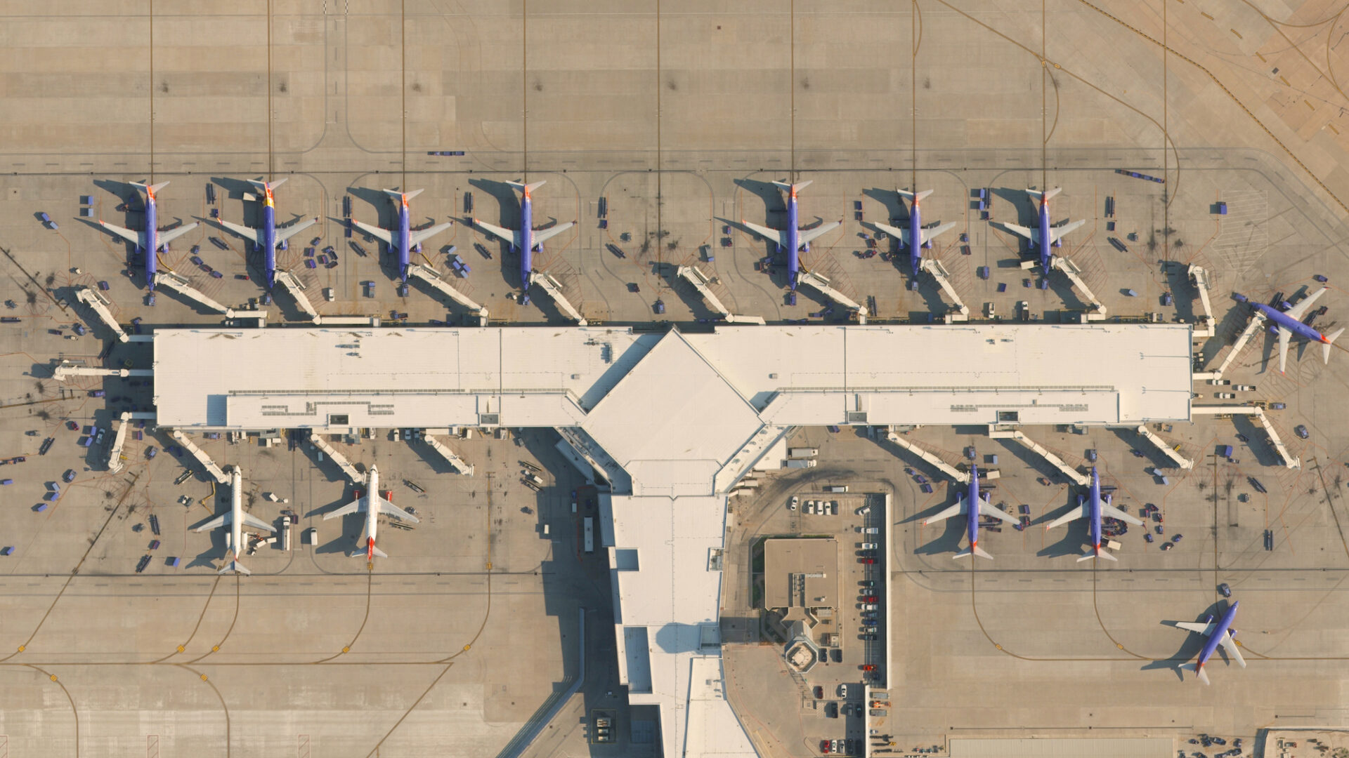
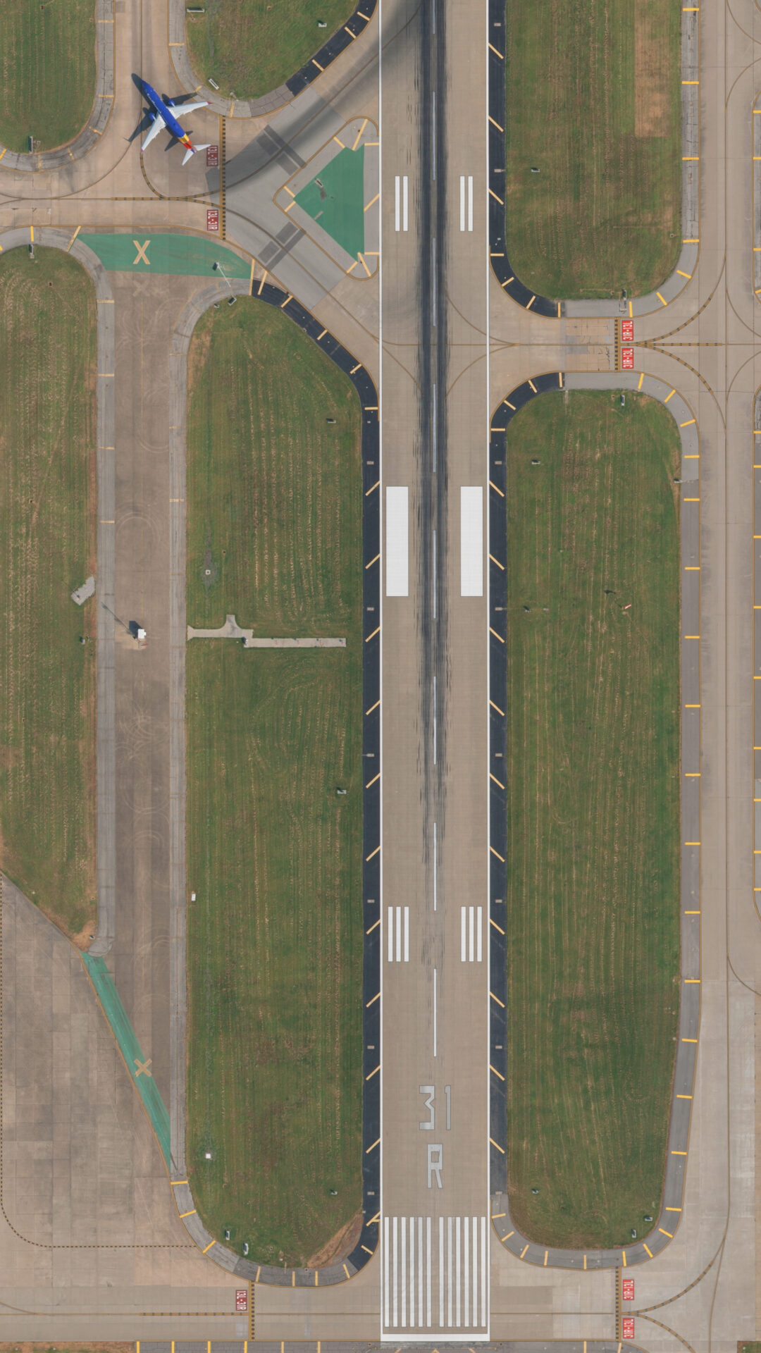
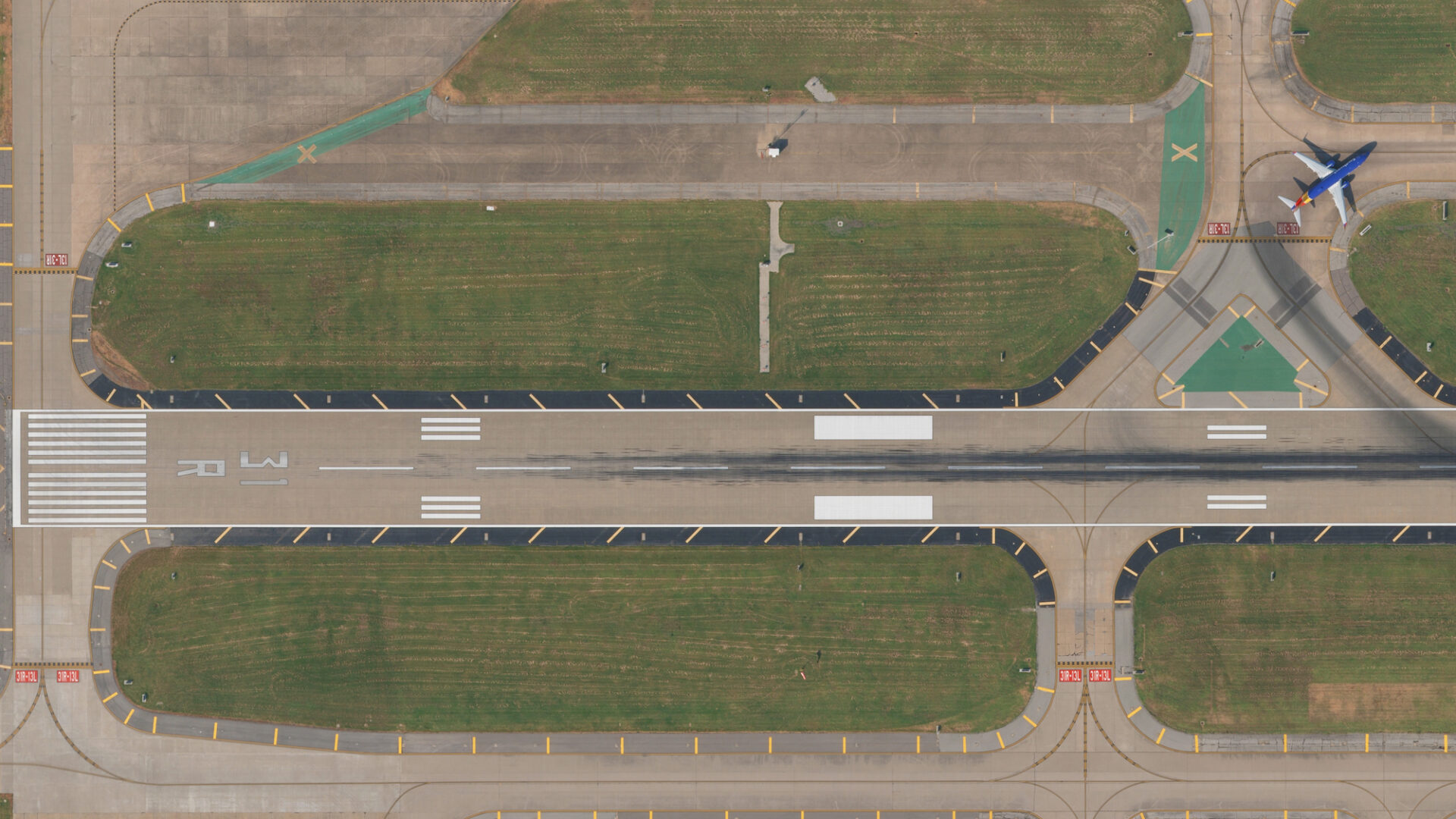
Markets we serve

Aviation

DAS delivers FAA compliant geospatial solutions to support airport infrastructure, expansion, and improvement.
Download brochure

Recently completed projects // View all projects

Louisville International Airport Obstruction Survey

DAS acquired 1”=700’ black and white photography for an obstruction survey, including Aerial Triangulation, Stereo Compilation, 3D vector, and elevation model of the Obstruction Identification Surface (OIS), with all determined obstructions digitized according to the National Map Accuracy Standards. Deliverables included SDF 405 Obstruction Survey Meeting FAA’s Airport GIS Standards).

Reagan County Airport Obstruction Survey

DAS acquired 15 cm imagery covering 33,877 acres for an obstruction survey, including Aerial Triangulation, Stereo Compiled Obstruction Mapping and Feature Attribution. Deliverables included a Remote Sensing Plan, AC 150/5300-17C imagery, and Obstruction mapping of all NVG OIS meeting FAA’s Airport GIS Standards.

Tyler Airport Aerial Mapping

DAS acquired 2.5cm GSD imagery covering 335-acres, including Aerial Triangulation, Stereo Compilation, and Digital Orthophotography. Deliverables included 1”=50’ Planimetric mapping, 1-Ft Contours mapping, and 0.20-Ft Digital Orthophotography in TIFF and MrSID Formats.

Our Aviation Solutions

Analysis & Analytics

DAS Geospatial provides expert data processing and analysis for many industries. Our geospatial solutions include engineer-design level maps, LiDAR classification and feature extraction, point cloud colorization, and a wide variety of industry-specific analytics, from transportation to mines and landfills.

Survey Services

DAS Geospatial provides expert aerial survey services for any industry. Our geospatial solutions include GPS ground control surveys, topographic surveys, terrestrial LiDAR, and bathymetric surveys.

Aerial Mapping

DAS Geospatial provides expert aerial mapping for any size project and industry. Our geospatial solutions include design-level maps, digital orthophotography, contour maps, planimetric maps, GIS feature collection, DEM/DTM, basemaps, corridor maps, 3D animated fly throughs, vegetation maps, and facility mapping.

Aerial LiDAR

DAS Geospatial provides expert aerial LiDAR for commercial, industrial, and transportation applications. Our geospatial solutions include end-to-end LiDAR data acquisition from mobile and terrestrial platforms complete with data processing and engineer design level point clouds.

Aerial Photography

DAS Geospatial provides expert aerial photography for any industry. Our aerial photography solutions include oblique imagery, near-infrared imagery, aerial video, thermal imagery, and construction progress imagery.

Aviation use cases

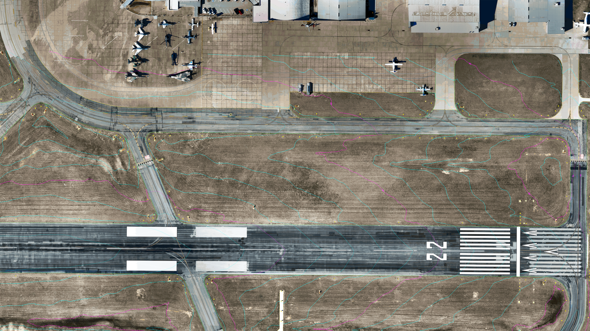
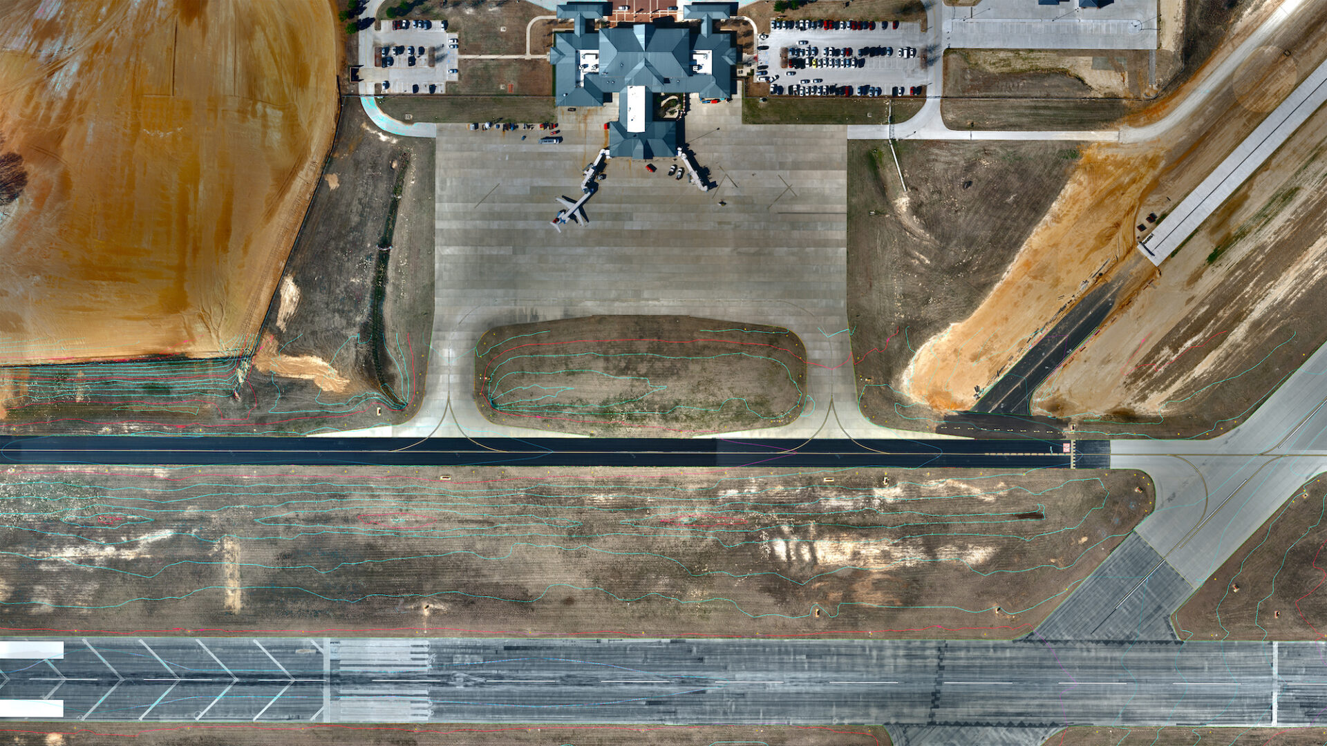
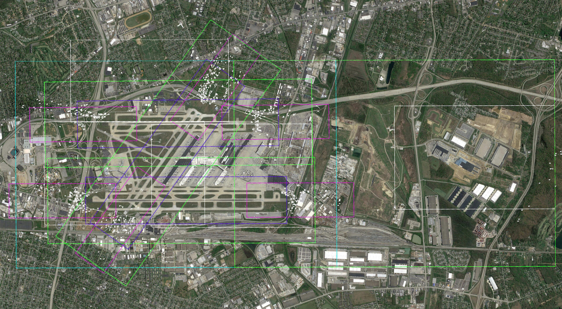
Leverage the breadth and depth of our geospatial solutions to create or update Airport Layout Plans (ALPs and eALPs. DAS is relied on by leading airports to perform obstruction surveys and airspace analysis. Our geospatial solutions also support vegetation management and drainage studies for routine operations or improvements to airport infrastructure.

A Legacy of Innovation

For more than 45 years, DAS has continuously incorporated the latest technologies to deliver best-in-class geospatial solutions for our aviation clients, from fixed wing, helicopter, UAV, and ground-based platforms to data processing, analytics, and engineer design level mapping. DAS provides aerial imagery, LiDAR data collection, and digital orthophotography to empower you to drive airport engineering designs and decisions with high quality topographic maps, planimetric feature extraction and attribution, digital terrain models, remote sensing, and more.